Custom Bethpage Red artwork, made to order — a hand-styled map of the course, a painting-style print of your favorite hole, or a finished photo from your round.
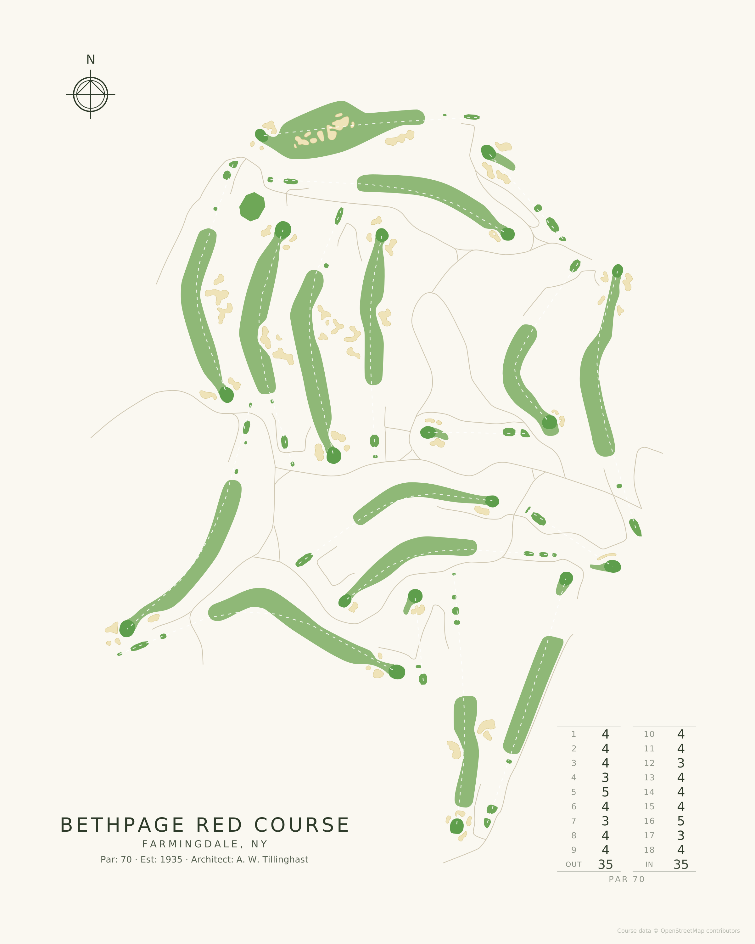
Created from actual data — every tee, fairway, bunker, and green, all in vivid detail.
Ask anyone who plays Bethpage regularly which course they would take if the Black were closed, and the answer is the Red. It opened in 1935, the same year as the Blue, from the same A. W. Tillinghast plan and over the same big-shouldered glacial ground — and where the Black overwhelms, the Red persuades. Par 70 across 7,092 yards, with bunkering that looks unmistakably like its famous neighbour's because it is by the same hand.
The Red shares the Black's best trait: the holes are laid over landforms rather than around them, so tee shots climb and approaches fall, and the greens are perched where the ground already wanted to put them. It shares none of the Black's cruelty. There is no sign at the first tee warning you off. You just play.
All of it belongs to the public. The Bethpage Park Authority assembled this land in the early 1930s and Tillinghast built three new courses on it; the Red is the one that most rewards a second visit, and the one that makes the case that Bethpage is not a course with four spares but a five-course park by a great architect.
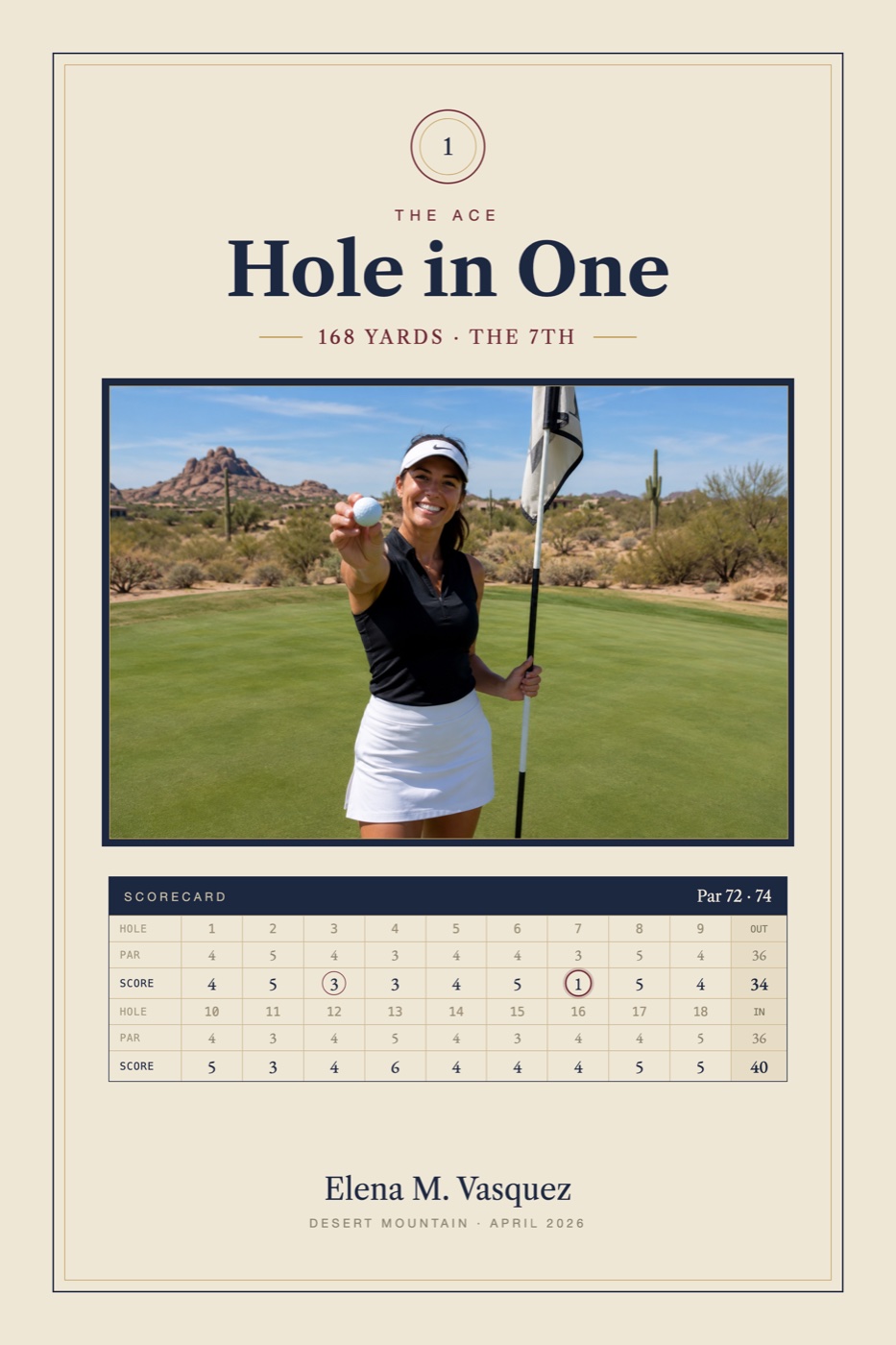
Museum-quality Bethpage Red Course map art, traced from real course data — A. W. Tillinghast's 1935 par 70 at Bethpage State Park, and the locals' pick after the Black. Four designs, six sizes, or personalized with your own round photo.
Course data © OpenStreetMap contributors (ODbL)